
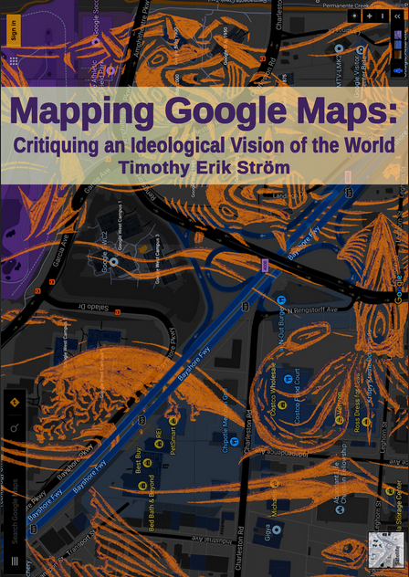
Download: Mapping Google Maps
Or, see and download it from Western Sydney University’s Library.
In 2017 I successfully submitted a PhD thesis (that seems an easy sentence to write in retrospect). The journey began back in 2012 at RMIT, and formally finished in 2018 when I gradated from Western Sydney University (I had to skip universities after RMIT began cannibalising itself).
The most succinct explanation of this sprawling 369 page thesis I can muster was presented at the academic spectacle that is the Three Minute Thesis competition back in 2016.
Click here to read a rough transcript of this three-minute speech.
Abstract
A rather more formal, dense and altogether academic synthesis of the thesis can be found in the abstract below; a one page compression which I have mercifully rendered with paragraph breaks:
Google Maps is an apparatus that projects an ideological vision of the world that serves to extend and augment cybernetic capitalism. The apparatus draws traces of everyday life into its circuits of surveillance and commodification, thus furthering the project of capitalist accumulation and control. That is the first layer argument of this thesis in its most condensed form.
While the subject of this dissertation is Google Maps, the mapping apparatus needs to be interpreted in the context of Google as a globalizing corporation, which is in turn understood as an exemplar of the hegemonic social formation I call cybernetic capitalism. Google advances the ideology of cybernetic capitalism, a vision that imagines the world as depoliticized and technologically determined. By drawing on scientific materialism, mechanical scientism and democratic rhetoric, Google promotes ‘free market’ solutions as they advance a techno-utopian vision of a glorious future.
Extending that argument, the thesis suggests that Google projects a specific ontological orientation. In particular, drawing on a long historical tradition, Google Maps naturalizes the modern cartographic form, and pulls the multicultural and intergenerational activity of mapping the world into its abstracted circuits. This abstracting process is bound up with the spatial rationalization, colonial conquest, military expansion and the rise of cybernetic capitalism. All these practices leave their traces in Google Map’s contemporary form.
In short, the apparatus serves to abstract subjectivity, materiality and social practice. The apparatus overlays the infinite complexity of the embodied Earth with an abstract representation composed of computer codes and oriented towards commodity relations that make up a cybernetic world-picture. The Map is projected over lived reality, augmenting and reorganizing social practice, changing the ways that we relate to others within and physically move through space.
Google Maps draws on the categories of Cartesian subjectivity, empty time and abstract space that formed across capitalist modernity. By drawing these ontological forms into its disembodied, global circuits, Google contributes to greatly intensifying these categories under the hegemony of cybernetic capitalism. In this way, Google further embeds itself, and the forces of cybernetic capitalism, potentially deeper into the lifeworlds of over a billion people unevenly scattered around the Earth.
Download: Mapping Google Maps
Or, see and download it from Western Sydney University’s Library.
Thesis Image Gallery
Below are a collection of some of the images that are reproduced in Mapping Google Maps. I have included them here as they can serve to give a visual indication of the kind content that the thesis touches on.


